 Free and easy
From the shore
A loop on the lagoon paths
- Effort
- Flat walking
- Extra
- Boats on the water
- Best time
- Morning
Guides
Language
EnglishCurrency
US dollar · $On GetYourGuide you see prices in this currency.
Guide · The oasis
A green lagoon in a bowl of tall sand dunes, a short taxi ride from Ica. What Huacachina is, how it is protected, what it costs to enter and how to fill a day around the water.
Editorial team, huacachina-sandboarding.comUpdated October 26, 2026read in 7 minutes40 sources
Quick answer
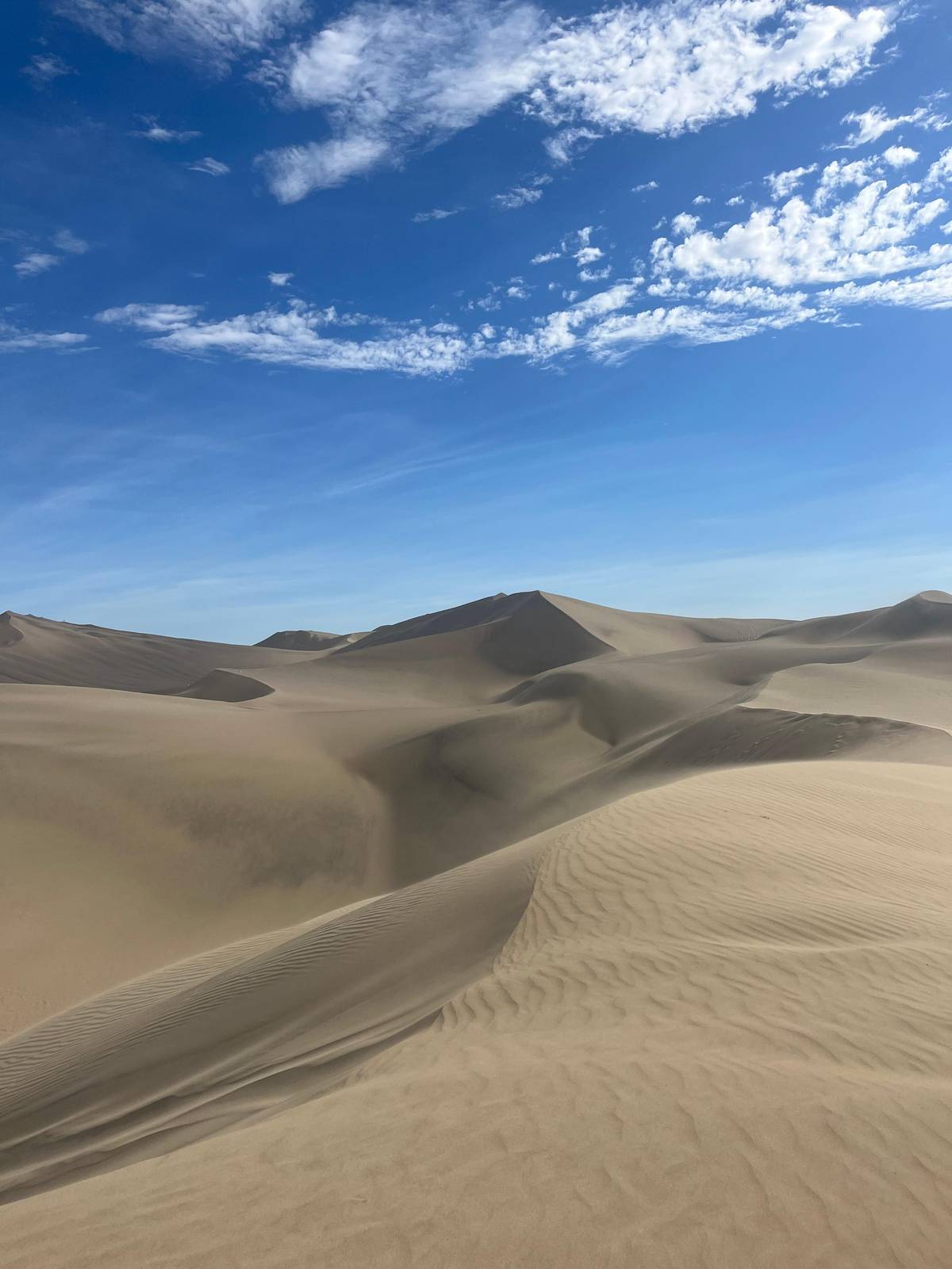
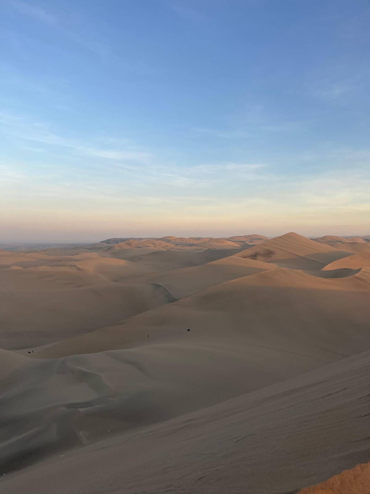
Huacachina is a lagoon in the middle of the desert of the Ica region, and PromPeru puts it four to five hours from Lima by road.18 Rolling dunes close in on every side, and the greenish water is ringed by tall palms, eucalyptus and huarango trees.2 The effect is the one you have seen on postcards: a small ring of green at the bottom of a sand bowl, with the dune crests standing high above the rooftops.
The Huacachina oasis is not a remote wilderness spot. The lagoon lies 5 km west of Ica city, and the drive out takes about 10 to 15 minutes.38 PromPeru calls it the Oasis of America and describes a lagoon with lush vegetation and walking trails.9 Around the shore you will find a small resort of hotels, hostels, restaurants and tour offices, and above them the open dunes begin almost at once.
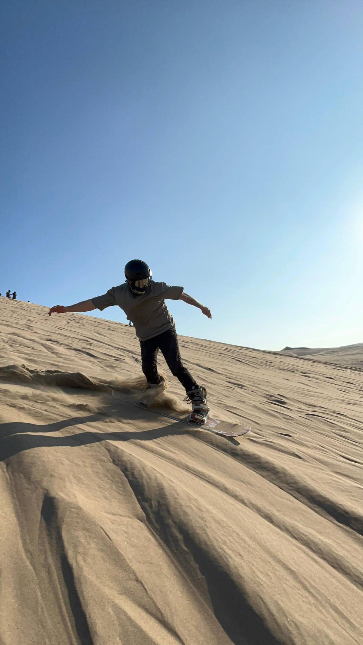
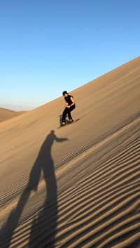
Water here once had a reputation of its own: the lagoon was famous for the healing properties of its water, which comes from underground seepage.3 Today it is the dunes that draw people. Sandboarding at Huacachina means riding a board down slopes up to 100 m high, and the sunset from the dune tops is one of the most photographed sights of the place.107
A day at Huacachina
Early morning
Herons and other birds along the reeds and palms.11
Mid-morning
A rowing or pedal boat on the lagoon.11
Midday
Sit out the hottest hours by the water.
Late afternoon
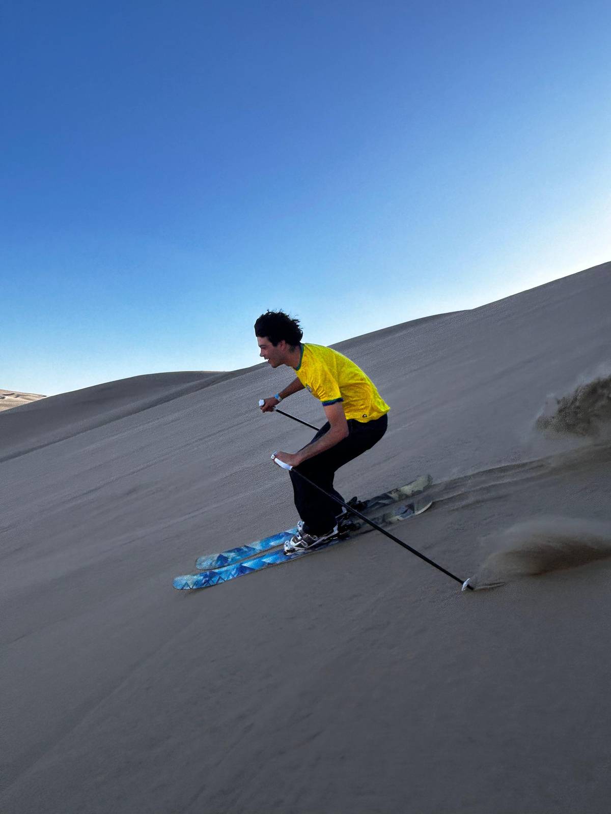
Boards, skis or a walk to a high crest.
Sunset
The most photographed moment of the day.7
Evening
The shore turns festive after dark.12
Ica is a city of the southern coast, about 48 km from the Pacific and 275 km southeast of Lima, in the arid, heavily irrigated valley of the Ica River.13 Huacachina belongs to that landscape of irrigated fields on one side and raw desert on the other. The lagoon itself lies at 406 m above sea level, in the same valley climate as the city.4
If you are planning a route through Huacachina, Peru, the town fits naturally between Lima and Nazca on the Pan-American road south. The Paracas National Reserve lies 42 km from Ica city, and the Nazca Lines are some 400 km south of Lima.1415 The coast strings together well over a few days. Our pages on the road from Lima, the Paracas day trip and the Nazca flight cover each leg in detail.
Getting from Ica to the lagoon is simple. PromPeru names taxi, tuk tuk and organized tours from the city center as the usual ways in.16 Most sandboarding and buggy outings also collect guests from hotels in Huacachina or Ica, and the tour this site recommends lists pickup from both. You do not need a car of your own for any of it.
Entrance rates
In figures
| What | Figure | Source |
|---|---|---|
| Altitude | 406 m | PromPeru |
| Distance from Ica city | 5 km west | PromPeru |
| Drive from Ica | 10 to 15 min | PromPeru |
| Road trip from Lima | 4 to 5 h | PromPeru |
| Dune height | Up to 100 m | PromPeru |
| Entry, foreign visitor | PEN 8.10 | PromPeru |
| Rain in a normal year | 10.6 mm | SENAMHI |
Altitude, distances, travel times, dune height and the entrance rate as published by PromPeru; the rain total is the 1991 to 2020 normal of SENAMHI's San Camilo station near Ica.43810517
Three ways to see it
Free and easyA loop on the lagoon paths
 Classic view
A climb on foot above the oasis
 Guided
Photo stops, sledding, sunset
Decision helper
Pick the line that sounds most like you
Sunset from the dune tops is one of the most photographed sights here.7
Rowing and pedal boats go out on the lagoon.11
PromPeru says an instructor gives instructions and gear on organized outings.18
The black-crowned night heron is now much more common here.11
The tourism board advises against them, as they are not regulated.19
This rich biodiversity is now protected, as Huacachina and the surrounding subtropical desert have been officially designated a Regional Conservation Area.
The lagoon and the desert around it are protected. Huacachina and the surrounding subtropical desert are officially designated a Regional Conservation Area, and PromPeru points to its migratory birds, fish and plants adapted to the desert.620 The tour this site recommends lists a Huacachina conservation area tax among the items not included.
Wildlife is part of a slow visit. PromPeru notes that the black-crowned night heron has become much more common at Huacachina in recent years, and guides offer interpretive walks about the plants and animals around the water.1121 Early morning, before the boards and buggies head out, is the calm hour for birds along the reeds and palms.
The name carries the legends. In Quechua, Huacachina means weeping woman.22 One legend says the lagoon formed from the tears of a green-eyed woman mourning her beloved, who later became a mermaid; another tells of an Inka princess fleeing a man, her dress turning into a sheet of sand and the mirror she dropped becoming the lagoon.2324 Local guides tell both, and the second explains the dunes as well.
Map
First the Pan-American road south from Lima past Paracas and Huacachina to Nasca, then the lagoon beside Ica, then the bay of Paracas with the Ballestas Islands.
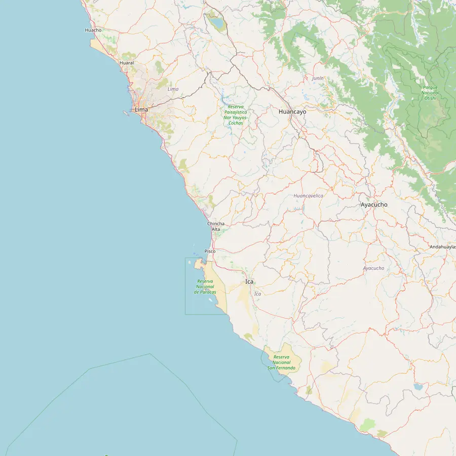 1Lima2Paracas3Huacachina4Nazca Lines5Nasca
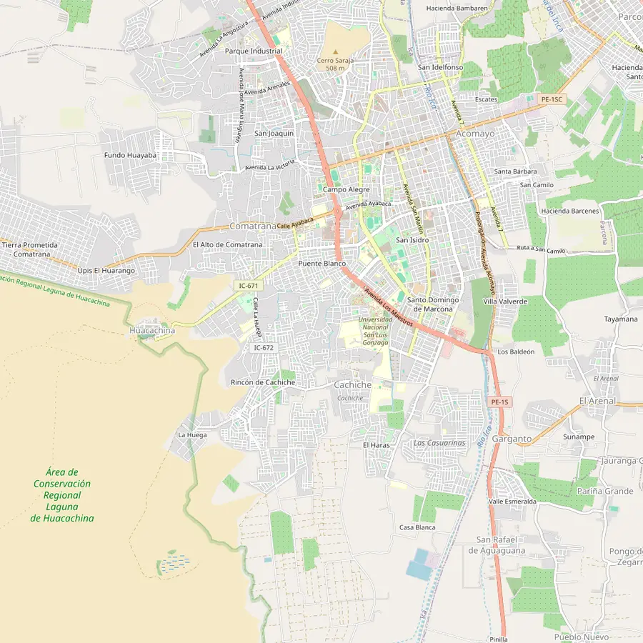 3Huacachina6Ica7Conservation Area8San Camilo
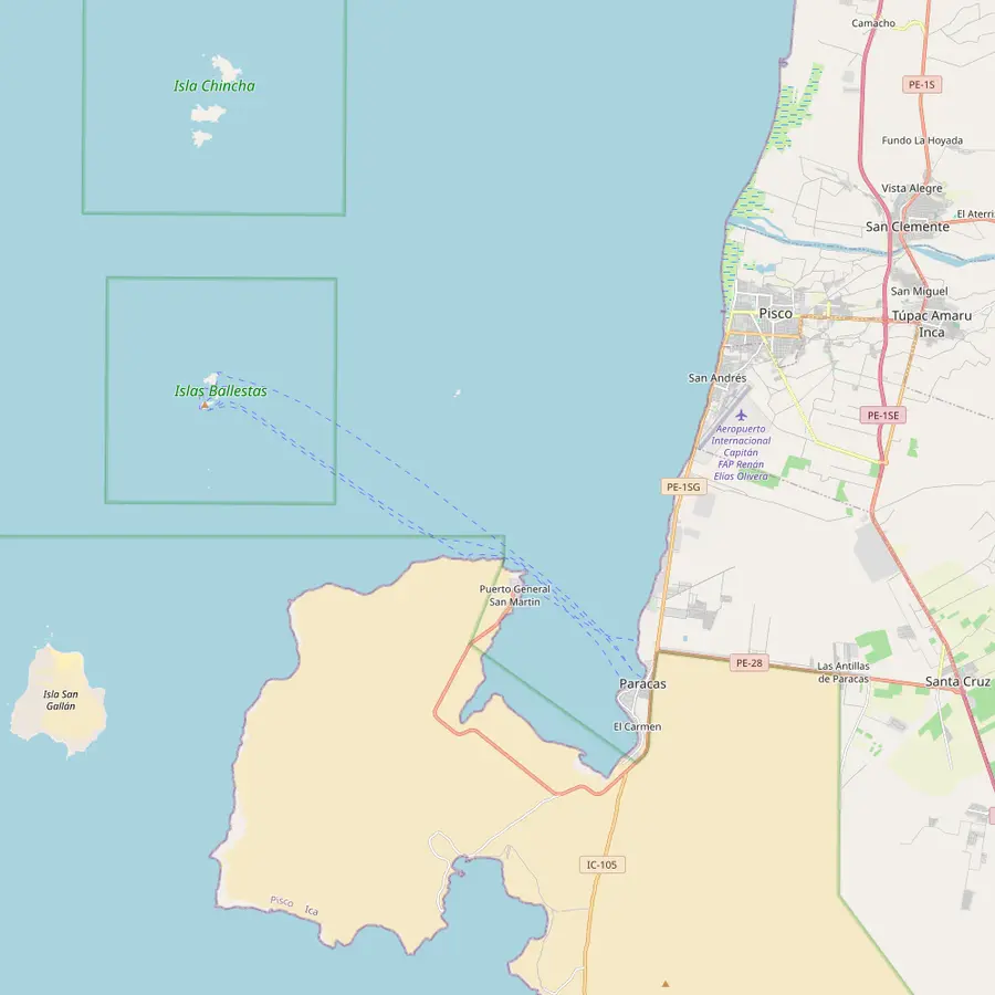 2Paracas9Ballestas Islands10El Candelabro11Pisco
Where the day trips and the buses start; Ica is about 275 km to the southeast.13
In Google Maps ↗Gateway to a reserve of 335,000 hectares; overland from Lima takes about 3 h 10 min.2526
In Google Maps ↗The lagoon 5 km west of Ica city, at 406 m, ringed by dunes up to 100 m high.3410
In Google Maps ↗A World Heritage site since 1994, some 400 km south of Lima.2715
In Google Maps ↗The town of the flights; Ica to Nasca is about 2 h by road.28
In Google Maps ↗The valley city of the Ica River, about 48 km from the Pacific.13
In Google Maps ↗The Regional Conservation Area that takes in the lagoon and the desert around it.6
In Google Maps ↗Where SENAMHI measures the temperatures and the yearly rain we quote, at 407 m.17
In Google Maps ↗Islands of sea lions and Humboldt penguins, seen from the boat only.2930
In Google Maps ↗A geoglyph 181 m long on the dunes of the peninsula, seen from the boats.31
In Google Maps ↗The town in whose province Paracas and the boat piers lie.32
In Google Maps ↗Checklist
Cost calculator
Enter your group size to compare four outings from the oasis.
Total from$46
pp from $23
Check availabilityfree cancellationThe total is each outing's from-price on its booking site multiplied by your party, converted at the day's ECB rate; the checkout shows the final amount.
Video
The video starts loading once you tap play.
PromPeru publishes the Huacachina entrance rates as PEN 2.00 for local tourists, PEN 4.00 for national tourists, PEN 8.10 for foreign visitors and a preferential rate of PEN 2.00.5 Carry some small notes in soles: the tourism board's own list of essentials for the area includes cash next to the camera and sunscreen.33
When you book a dune outing, check how the listing treats the fee. The site tour lists the Huacachina conservation area tax as not included; plan to pay it on the day. Accident insurance is also outside its price, which is worth knowing before an afternoon on steep sand.
Prices for tours are a different matter and change with the season and the operator. On this page we only quote the from-prices that the listings show. The buggy tour with sledding that this page links to starts from $23, and the sunset sandboard and sandski evening this site is built around starts from $48.
A good day at Huacachina follows the sun. PromPeru's own list for the conservation area is short and sensible: race down the dunes on a sandboard, take a boat out on the lake and have a pisco sour at the lakeside hotel.34 Pedal boats and rowing boats go out on the water, and the shore paths make an easy loop between the palms.119
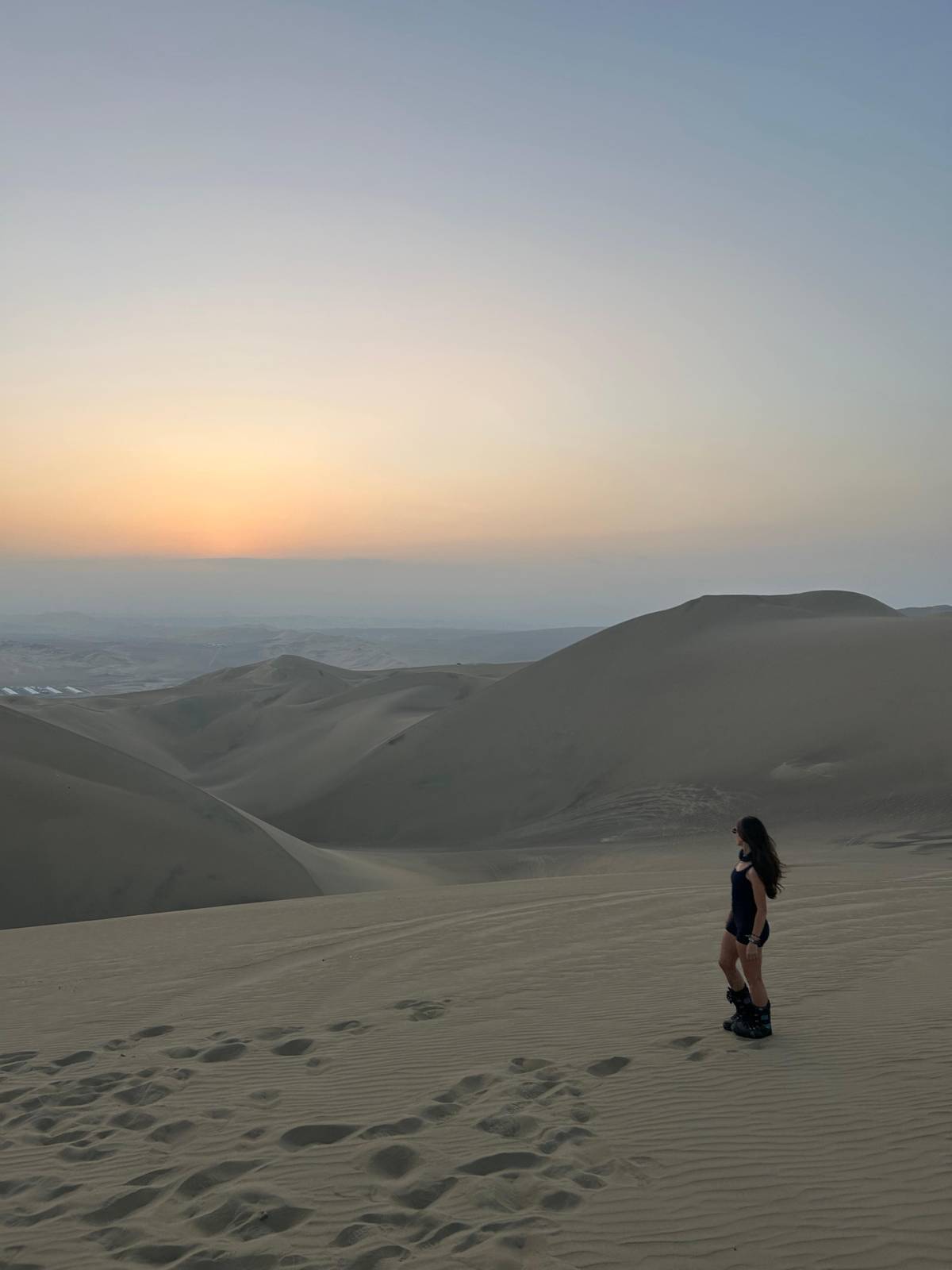
Keep the middle of the day for shade, lunch and the water. Walking the dunes at sunrise or sunset shows how the sun changes the colors of the landscape, and the climb is far kinder in low light.35 The late afternoon belongs to the boards and buggies, which head out onto the dunes to be on a crest when the sun goes down.
After dark the place changes again. PromPeru describes how the lights of the businesses around the lagoon come on after sunset and the mood turns festive.12 If you want quiet, walk a little way up the nearest dune and look back down on the lit ring of the oasis. If you want company, the bars around the shore are a few steps away.
The classic view of the lagoon is from above, and there are three ways to get it. You can climb the nearest dune on foot from the shore, which is free and steep. You can join a buggy tour, like the one this page links to, which drives out to photo stops and a sunset point and adds sand sledding. Or you can spend the evening on a board or skis and watch the sun set from the slope.
The dunes at Huacachina are considered among the highest in the region, and the sand is soft and deep.36 On foot, take the ridges rather than the faces, rest often and go up early or late. Sandboarding equipment is for rent at the resort if you want to try a run on your own, and PromPeru says an instructor is present on organized outings to give instructions and the right equipment.3718
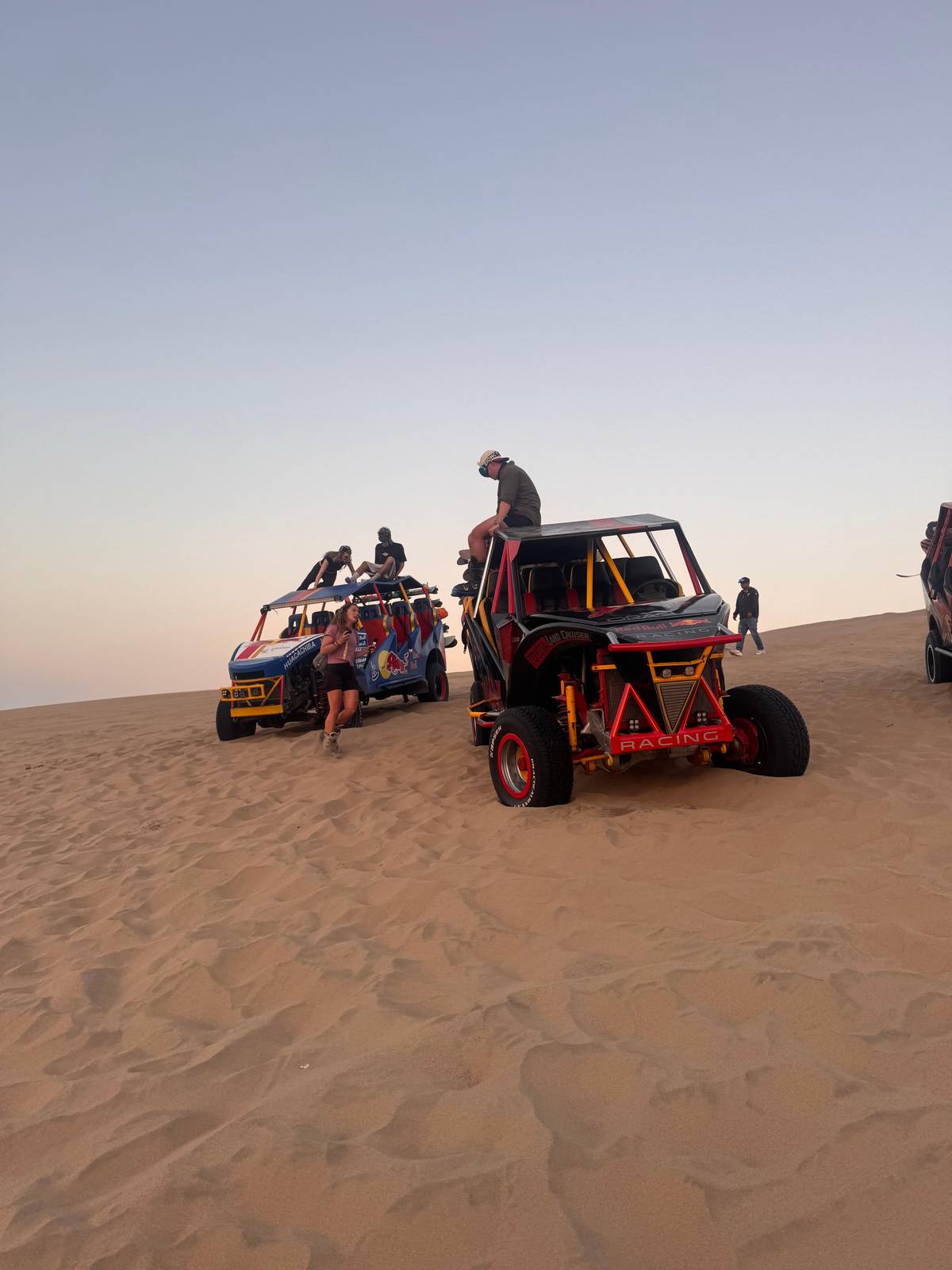
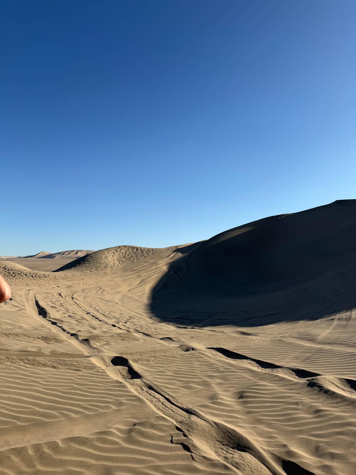
PromPeru also advises visitors not to use dune buggy services, because the activity is currently neither regulated nor officially supervised, and asks them to put their safety first.19 That is a plain warning from the national tourism board, and we repeat it here. If you choose a buggy anyway, read our dune buggy page first; if you prefer to avoid them, the walk up and the view are yours for nothing.
PromPeru names February and March as the best time to visit Huacachina, when it is warmer, and adds that the oasis is a good destination all year.38 The tourism board gives its weather as 23 °C minimum and 32 °C maximum, and the long-term record of the San Camilo station near Ica shows a mean daily high of 33.4 °C in March.439
The winter months are milder. San Camilo averages a high of 25.2 °C in July and a low of 10.3 °C, cool enough that an evening on the dunes calls for a layer.3940 Rain is almost absent: the station records 10.6 mm of precipitation in a whole normal year.17 The month-by-month detail is on our weather page.
Whatever the month, the rhythm of the day is the same. The sand heats up fast, the light is harsh at noon and soft at the edges of the day. Plan your walks and rides for the morning and the last hours before sunset, keep water and sunscreen with you, and leave the hot middle hours to the lagoon and the shade.
Your sunset
Pick a date, get collected in Huacachina or Ica, and cancel free up to 24 hours before.
Near Ica, in southern Peru. The lagoon lies 5 km west of Ica city, about 10 to 15 minutes by road.38
PEN 8.10 for foreign visitors. PromPeru lists PEN 2.00 for locals, PEN 4.00 for national tourists and PEN 2.00 at the preferential rate.5
Weeping woman. The name is Quechua, and the legends of the lagoon explain it.2223
Yes. Huacachina and the desert around it are officially a Regional Conservation Area.6
Up to 100 m. PromPeru describes sandboarding at Huacachina as riding down dunes up to 100 m high.10
Yes, by boat. Rowing and pedal boats go out on the water, and PromPeru lists a boat ride among the things to do.1134
February and March, says PromPeru. Those are the warmer months, and the tourism board calls the oasis a good destination all year.38
No. It advises visitors not to use them, as the activity is not regulated or officially supervised.19
Sources
Keep reading